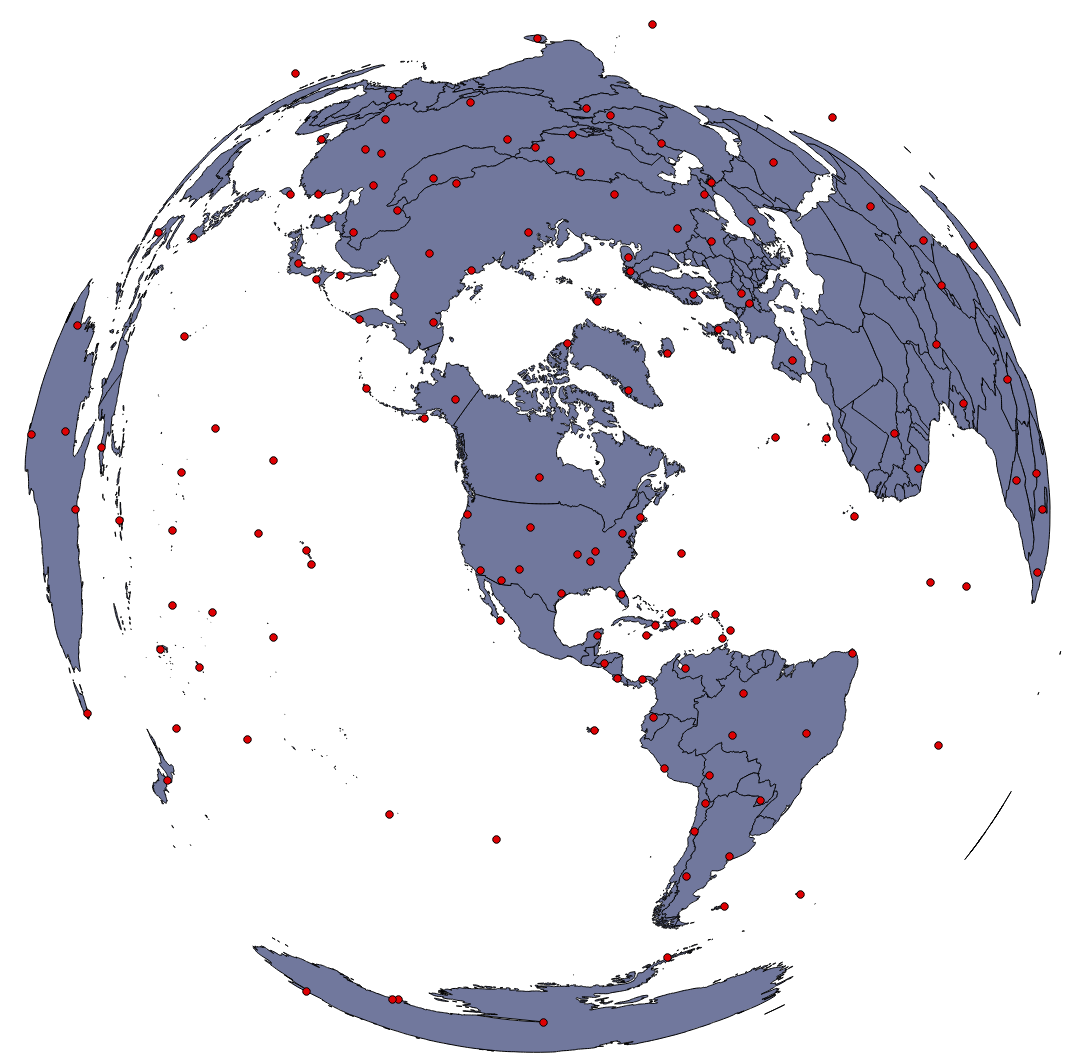
I figured out how to reproject maps with Q-GIS and would like to celebrate with this lovely image, a US Atlas Equal Area Projection, which I thought was the most fun of the built in projections in Q-GIS 1.8.0:
If the Q-GIS documentation site is working it isn’t too hard to figure out how to reproject. Quick summary:
- File >> Project Properties: You can set the project Coordinate Reference System (CRS), if you “Enable ‘on the fly’ CRS transformation” you can play around with the different projection options.
- To set the CRS on a shapefile layer, right-click on the layer name and select “Set Layer CRS”, this is particularly useful if you don’t have ‘on the fly’ enabled, then your layers will not display if they are in a different CRS than the current project one, in which case you can change them here so they will display.
Note for practical equal area projections I found the Mollweide options seemed to work well, but don’t understand yet the difference between world and sphere options. Anyone?
Funny, it wasn’t untill I started looking at these equal area projections that I realized how big Russia is!

