I am looking into using d3 in conjunction with Leaflet and worked through Mike Bostock’s tutorial on d3 and leaflet. Using the MAPC provided shapefile for municipalities, so far it seems really slow on zoom, I think because of the super high resolution shapes being recalculated. Check out the shape of Boston!
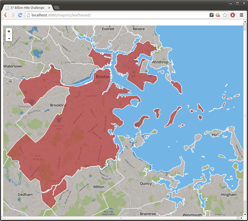
Can I just say that Boston is genuinely a weird shaped town? I particularly love these oddities:
- The tiny sliver in of Boston that extends into Everett!
- A small section of the airport is in Winthrop
- The tail end of Winthrop peninsula is in Boston
- Brookline. Need I say more…
